.png)
PLEASE FOLLOW THESE STEPS
After clicking 'NEXT' You can navigate in to a Window , where you can Select the District from the 'Choose District' tab. It will show the District level Soil Erosion Map with classes of Erosion
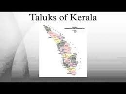
After selecting the required district , select the taluk you want to view from the 'Choose Taluk' tab.It will show the Soil Erosion Map at Taluk level with classes of Erosion.

Now select the panchayath you want to view from the 'Choose Punchayath' tab. Prioritisation will be done with the soil and water conservation features in the watersheds of the respective Panchayats.